PublishedWa Naturally Publications, September 2021 |
ISBN9781925978230 |
FormatSoftcover |
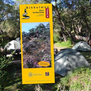
This is the first in a series of new, virtually rip-proof, completely revised and updated maps covering sections of the route of the re-aligned Bibbulmun Track. Map 1 covers the route from Kalamunda (Northern Terminus) to North Bannister. Shows permitted vehicle access points, disease risk areas, campsites, terrain profiles, distance tables, Track town inset maps and much more.
Campsites include Ball Creek, Hewett's Hil, Helena, Waalegh, Beraking, Mt Dale, Brookton, Canning, Monadnocks, Mt Cooke, Nerang and Gringer Creek.

